Highlights
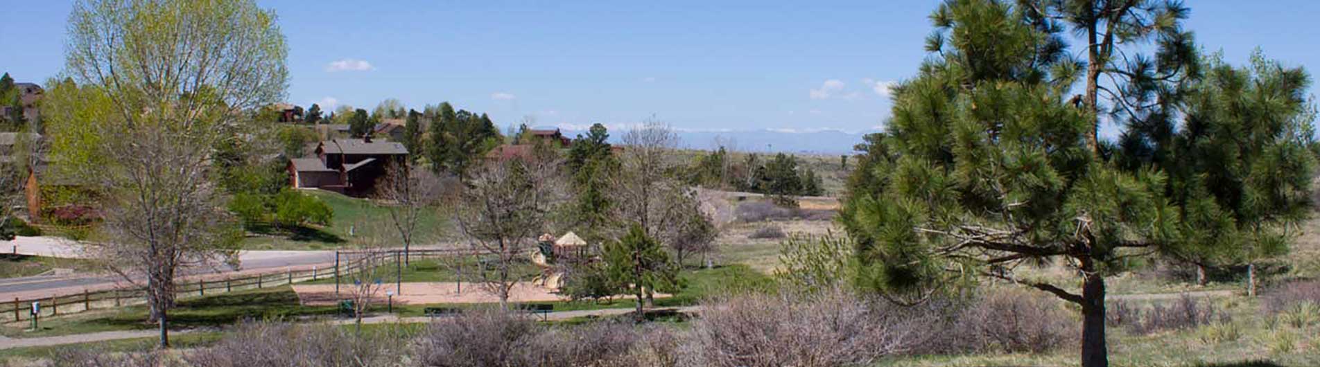
Parallels Cherry Creek and will eventually connect Cherry Creek State Park to the north and Castlewood Canyon State Park to the south. Connects parks and open space properties, as well as Parker, Centennial and Franktown. This trail is a part of the Colorado Front Range Trail. Trail goes through cottonwoods, willows and grasslands along neighborhoods, nearby commercial areas, and through parks and open space by Cherry Creek.
Trail Rating
Easy; the trail is very accessible; gravel detours on roadways and livestock gates are minor obstacles.
Trail Length
Planned length from Cherry Creek State Park to Castlewood Canyon State Park: Proposed 24 miles; Completed: approximately 17 miles
Trail Surface
The finished portions are 8’wide concrete surface. Some of the detour connections are gravel.
Uses: Multi-use, no gas powered motors allowed on trail. Use of natural surface along the sides of the trail is allowed for horses, running, etc. Dogs must be on leash.
Amenities
Restrooms, picnic shelters at trailheads and parks
Location
Between Cherry Creek State Park (Aurora at Parker Road) and Castlewood Canyon State Park (Franktown at Castlewood Canyon Road.) Trailheads are located off of Parker Road to the west at Cherry Creek State Park, Cottonwood Park, Bar Triple C Park in Parker, Salisbury Park, West Bank Park south of Parker, and North Pinery Trailhead. Other access can be acquired from crossroads near Cherry Creek.
Contact
Douglas County Parks and Trails at (303) 660-7495